
Lower Trail
Naturally beautiful, impressively historical, loaded with wildlife, this is our eastern-most trail and couldn’t be a better front door for our region of trails! The Lower (rhymes with “flower”) Trail flows for almost 17 miles along the banks of the Frankstown Branch of the Juniata River. In the early 1800s, this was part of the Pennsylvania Main Line Canal. Later in the century, it became part of the Pennsylvania Railroad system. Today, it is a nearly level rail-trail with fascinating historical features such as canal remnants, an iron plantation and a covered bridge. Sections also are considered “important birding areas,” according to the Pennsylvania Audubon Society. No wonder the Lower is recognized as a National Recreation Trail!

Trail Description
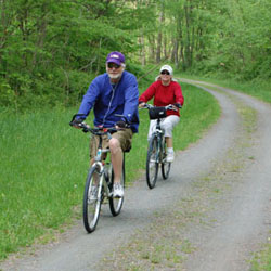
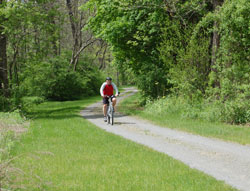
From east to west, the Lower Trail begins in Alfarata and goes through four other “stations” (trailheads) before ending in Flowing Spring. With the exception of a two-mile asphalt section in Williamsburg, the trail has a crushed limestone surface. The six stations all offer parking, chemical toilets, and picnic pavilions.

Trailheads
Challenges
- The only real challenge is staying on the trail. There’s so much to see and experience that there is a near-constant temptation to stop, look and listen.

Quick Notes
- Follows the beautiful Frankstown Branch of the Juniata River.
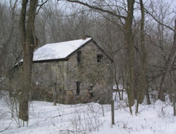
- Historical features include canal remnants, an iron plantation, picturesque communities and a covered bridge.
- The trail is part of the Pittsburgh-To-Harrisburg Main Line Canal Greenway.
- An Audubon IBA (Important Birding Area).
- A National Recreation Trail.


